Land measurements can get confusing fast. One minute you're looking at acres, the next you're staring at a legal description full of numbers you don't understand.
This article breaks down exactly how much land is in a section. It also covers how it's measured and why it matters.
I know how frustrating it feels to read a property listing and have no idea what the numbers mean. That's exactly what we'll fix here.
You'll learn what a section is and how it connects to acres and townships. You'll also learn how to read a legal description without guessing.
Land measurements can seem confusing at first, but once you understand how sections and acres relate, reading property descriptions becomes much easier.
What Is a Section of Land?
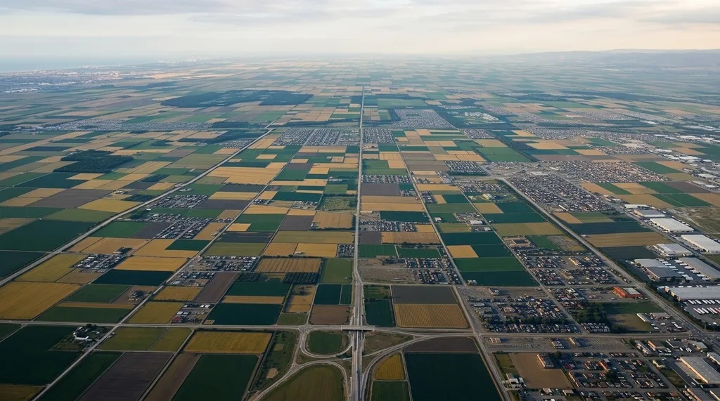
A section is a fixed unit of land from the Public Land Survey System, used to divide large areas into equal, trackable pieces.
Congress created the PLSS in 1785 to organize land as the country expanded west, using a grid of lines that runs north to south and east to west.
Every section fits into a larger structure made up of townships and ranges, so once you understand the grid, land descriptions start making a lot more sense.
How Much Is a Section of Land?
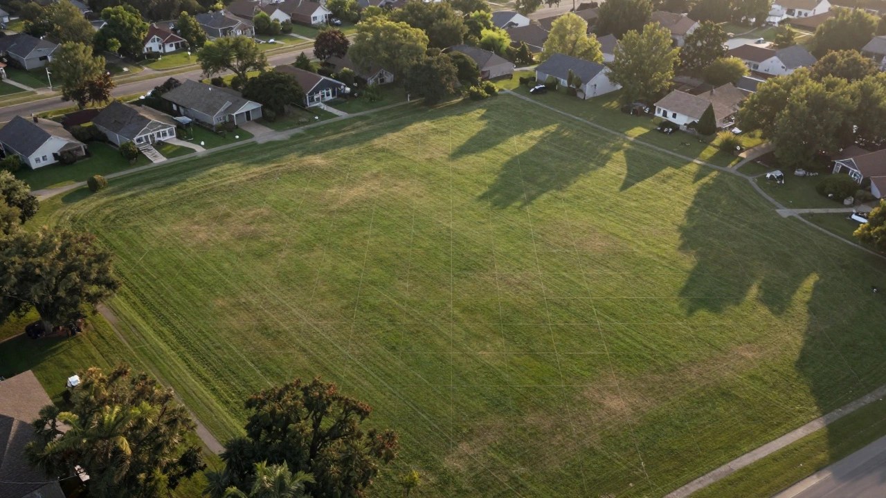
Here's what one section equals in acres, feet, and miles.
One section of land covers one square mile, based on the standard measurements used in the Public Land Survey System.
A square mile measures one mile on each side, creating 640 acres of land. This standard makes sections useful for describing, mapping, and comparing large rural properties.
How Many Acres Are in a Section?: One section contains 640 acres under the standard Public Land Survey System.
Since one acre equals 43,560 square feet, multiplying 640 by 43,560 gives the total area of 27,878,400 square feet.
Knowing the 640-acre figure makes it easier to understand property listings, survey descriptions, and land divisions.
Square Feet in a Section: A standard section contains 27,878,400 square feet because it covers one square mile. One mile equals 5,280 feet, so multiplying 5,280 by 5,280 produces the total area.
This measurement can help when comparing a full section with smaller parcels described in square feet, acres, or other units.
Understanding the Public Land Survey System (PLSS)
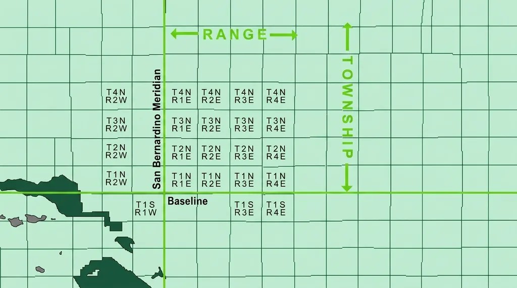
The PLSS is the grid system behind every section, township, and range you'll come across.
What Is the PLSS?: The Public Land Survey System was created to divide and organize land across much of the United States. It uses a grid made of lines running north to south and east to west.
Every grid line is measured out from a principal meridian and a baseline. These act as the starting point for the whole map.
This grid makes it possible to locate any parcel with accuracy.
Townships, Ranges, and Sections Explained: A township is a six-by-six-mile block made up of 36 sections. That adds up to 23,040 acres total.
Range lines mark how far east or west a township sits from the principal meridian. Ranges and townships work together to pinpoint exact locations on the grid.
Once you know the pattern, reading a legal description gets much easier.
How Sections Are Numbered: Sections inside a township are numbered from 1 to 36 in a back and forth pattern. This pattern starts in the top right corner and snakes downward.
It keeps the numbering consistent everywhere the system is used.
Common Subdivisions of a Section
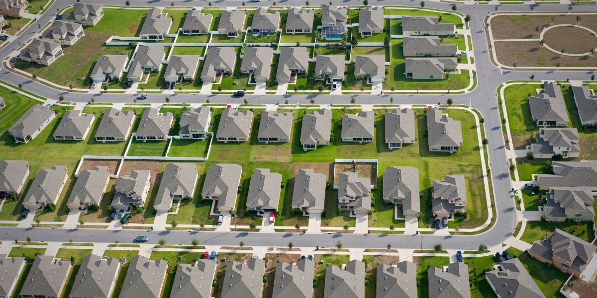
Sections often get split into smaller pieces to fit different property sizes, from large ranches down to individual home lots and logging tracts. The table below shows the most common subdivisions, their acreage, and where you're likely to see each one used in practice.
| Subdivision | Acres | Common Use |
| Half section | 320 | Larger farms or ranch land |
| Quarter section | 160 | Standard homestead grants, rural listings |
| Quarter-quarter section ("forty") | 40 | Smaller land sales, logging tracts |
Half Section (320 Acres)
A half section equals 320 acres. It's created by splitting a full section right down the middle.
This size works well for larger farms or ranch land.
Quarter Section (160 Acres)
A quarter section equals 160 acres. This was the standard size for grants under the Homestead Act, which is why you'll still see it used often in rural property listings today.
Quarter sections usually carry a direction in the name, like NW Quarter or SE Quarter. The legal description tells you exactly which corner of the section it covers.
Quarter-Quarter Section (40 Acres)
A quarter-quarter section equals 40 acres. It's created by dividing a quarter section into four equal parts.
Farmers and loggers often just call this a "forty." This size shows up often in smaller land sales.
Fractional Sections and Government Lots
Some sections don't come out to a perfect 640 acres, since rivers, lakes, or state lines can cut off part of the land.
These irregular pieces are called fractional sections or government lots, and you'll typically spot them near natural boundaries rather than in the interior of a township.
How to Convert Sections and Acres
Converting between sections and acres is simple once you know the base numbers.
Convert Sections to Acres
To convert sections to acres, multiply the number of sections by 640. For example, 2 sections equal 1,280 acres, while 3 sections equal 1,920 acres.
This calculation works for whole or partial sections. Use it when comparing multiple sections or determining the total acreage described in a property record.
Convert Acres to Sections
To convert acres to sections, divide the total acreage by 640. For example, 320 acres equals 0.5 section, while 160 acres equals 0.25 section.
This calculation helps you understand how a smaller parcel relates to a full section and makes property descriptions easier to interpret.
Quick Conversion Reference
Use these common measurements as a quick reference when reading land listings or survey descriptions.
A quarter-quarter section, often called a forty, contains 40 acres. A quarter section contains 160 acres, a half section contains 320 acres, and a full section contains 640 acres.
Why Section Measurements Matter
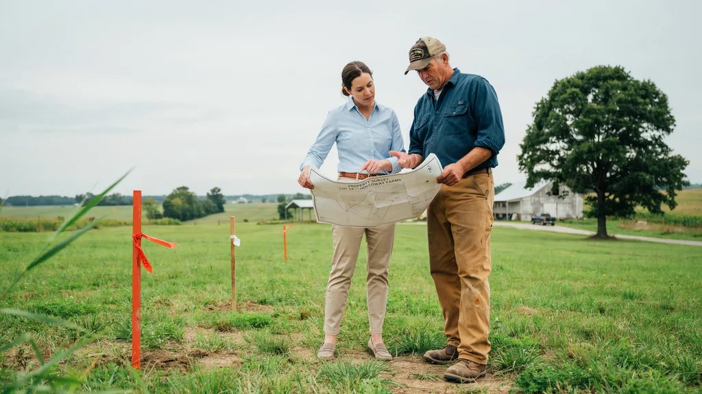
Section sizes affect far more than paperwork. They shape real decisions.
Buying and Selling Land
Section size helps buyers and sellers understand how much land a property includes. Accurate acreage can support better price comparisons and clearer negotiations.
Before completing a transaction, review the property’s legal description and survey records.
These documents can confirm the parcel’s boundaries and help prevent misunderstandings about the land being transferred.
Farming and Agricultural Planning
Farmers use acreage measurements to plan crops, livestock areas, equipment use, and operating costs.
Knowing the available land area helps determine how much seed, fertilizer, or irrigation may be needed.
Section measurements can also make it easier to divide larger properties into manageable areas for different agricultural activities.
Property Taxes and Assessments
Property assessments may use recorded acreage and parcel information when determining taxable property values.
If the recorded acreage differs from the actual property size, the assessment may need review.
Check your property records and local assessment information for accuracy. For boundary or acreage disputes, a qualified surveyor can provide more precise measurements.
Land Surveys and Legal Descriptions
Legal descriptions use section data to describe land boundaries. Surveyors rely on this system to confirm exact property lines.
Cities and counties also lean on section data for zoning and planning. It helps them lay out roads, utilities, and building limits ahead of time.
This keeps ownership records accurate and clear.
Common Land Measurement Terms
A quick glossary makes reading land documents much less confusing.
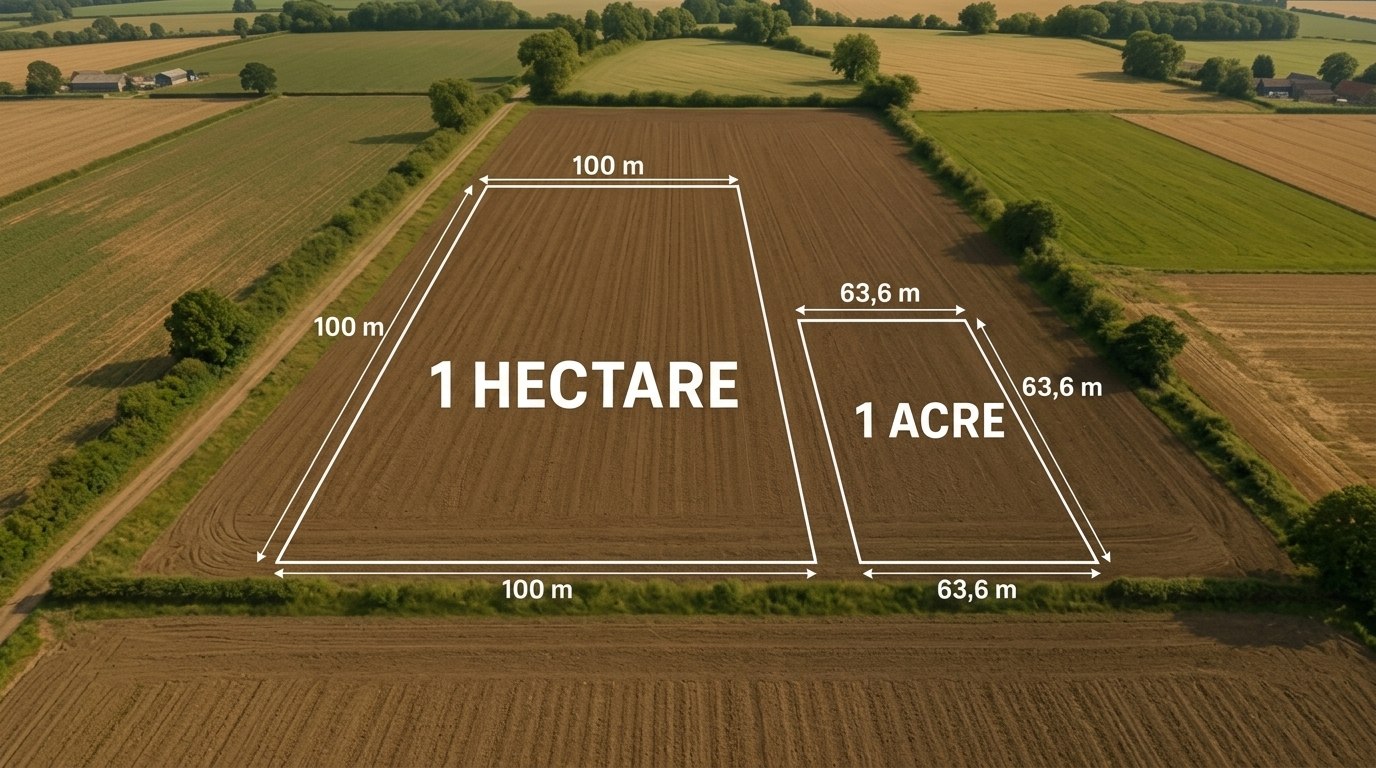
- Acre: An acre is a standard unit of land measurement equal to 43,560 square feet, or roughly the size of a football field without the end zones.
- Section: A section is one square mile, or 640 acres, of land.
- Township: A township is a six by six mile area made up of 36 sections, totaling 23,040 acres.
- Range: A range marks the east to west position of a township within the survey grid, measured from the principal meridian.
- Parcel: A parcel is any defined piece of land, regardless of size.
- Metes and Bounds: Metes and bounds is an older land description method based on distances and landmarks. It came before the PLSS and is still used in some original eastern states.
Tips for Understanding Land Sections
A few habits make land measurements much easier to work with.
- Learn the basic acre conversions so you can do quick math in your head
- Read the legal description carefully before assuming what a property includes
- Use survey or GIS maps to verify property boundaries before you buy
- Check for fractional sections near rivers or state borders
- Hire a licensed surveyor for large land purchases to confirm exact size
Conclusion
A section of land equals 640 acres, and every other unit in this guide, half sections, quarter sections, townships, builds from that one fact.
The next time you look at a property listing or legal description, you'll be able to tell at a glance how much land is actually involved.
Frequently Asked Questions
How many acres are in a full section of land?
A full section equals 640 acres. This stays consistent across the entire Public Land Survey System.
What is smaller than a section but bigger than an acre?
A quarter section at 160 acres or a half section at 320 acres both fit between a single acre and a full section.
Why do some sections have less than 640 acres?
Rivers, lakes, or state borders sometimes cut into a section. These are called fractional sections or government lots.
How many sections are in a township?
A township contains 36 sections arranged in a six by six mile grid, adding up to 23,040 acres.
Do all states use the same section sizing?
Most states under the Public Land Survey System use the same 640 acre section size, though some original states use metes and bounds instead.